EMVision®
The software package by TechnoImaging® that allows for processing, 3D inversion and 3D modeling of all kinds of geophysical data. EMVision® makes it possible to transform data sets of any size, including extremely large surveys, with the option of the integration and joint inversion of different types of geophysical data.
EMVision® is the only software and TechnoImaging® is the only provider that offers:
-
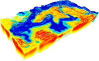
Large-scale 3D airborne electromagnetic (AEM) inversion

- 3D inversion of entire AEM surveys to models with millions of cells, delivered in industry standard formats
- RESOLVE, DIGHEM, VTEM, AEROTEM, HELITEM, SkyTEM, TEMPEST, GEOTEM, MEGATEM, SPECTREM
-
The largest joint 3D gravity and magnetic inversion
- 3D inversion of regional surveys to models with hundreds of millions of cells, delivered in industry standard formats
- Gravity, Gravity Gradiometry, Magnetics, Magnetic Gradiometry
-
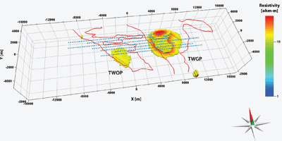
 The largest joint 3D magnetotelluric (MT) and ZTEM inversion
- 3D inversion to models with millions of cells, delivered in industry standard formats
- Principle Components, Full Tensor, Tipper
- MT, AMT, ZTEM

-
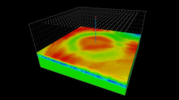
Large-scale 3D marine controlled-source electromagnetic (MCSEM) inversion
- 3D inversion of entire surveys to models with millions of cells, delivered in industry standard formats
- Frequency-domain CSEM, Time-domain CSEM, Towed Streamer EM

-
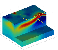
Large-scale 3D borehole-to-surface EM data inversion
- Multiple component BSEM data
- Interpretation of exploration, appraisal and monitoring BSEM surveys
- Downhole EM
TechnoImaging® also offers Contract R&D for unique system configuration or prototype data.
EMVision® features the following:
- High stability and accuracy in 3D modeling with the use of the integral equation (IE) method including multiple inhomogeneous domains
- Large-scale 3D inversion with fine grids by using the moving sensitivity domain approach
- Integrated geophysical model based on multimodal geophysical data with joint 3D inversion using Gramian constraints
- Sharp, focused images with 3D focusing regularization
- 3D forward modeling based on the integral equation (IE) method with multiple inhomogeneous domains ensures high stability and accuracy of the results
- The moving sensitivity domain approach provides unique capability of 3D inversion of the large-scale geophysical surveys to models with the fine-grid discretization
- The joint 3D inversion with Gramian constraint delivers an integrated geophysical model based on multimodal geophysical data
- 3D inversion with focusing regularization provides images of the geological targets with sharp and focused boundaries
- Parallelized and optimized for the in-house powerful TechnoImaging®'s PC cluster
